


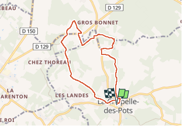

7,2 km | 8,5 km-effort


Gebruiker


Gratisgps-wandelapplicatie
 SityTrail
IGN / Geografische instituten
SityTrail World
De wereld gaat voor u open
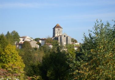
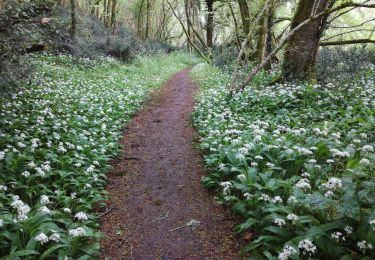
Tocht Stappen van 7,8 km beschikbaar op Nieuw-Aquitanië, Charente-Maritime, La Chapelle-des-Pots. Deze tocht wordt voorgesteld door Claudinette17.

Paard
Stappen

Stappen
Mountainbike

Mountainbike

Stappen
Stappen
Stappen
Stappen